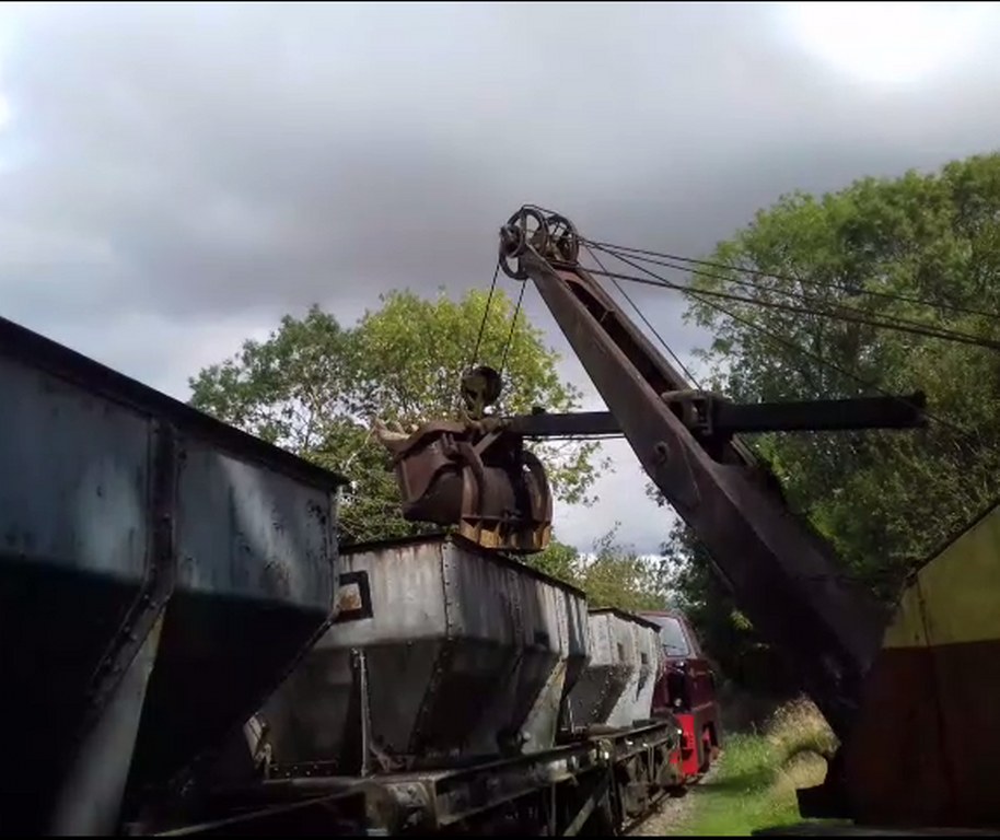
The Museum is located just outside the Rutland village of Cottesmore and is found by following the brown Rocks By Rail tourist information signs.
SATNAV: use our name Rutland Railway Museum or postcode reference LE15 7FF.
WHAT3WORDS: upward.hinted.fidelity will get you to our entrance.
STREETMAP: OS style mapping.
OS MAP REFERENCE: SK 88631 13586 OS Landranger 130.
GOOGLE MAPS: here.
BY TRAIN: our closest railway station is Oakham about 4 miles away.
There is a bus route to Cottesmore from Oakham bus station to the stop in Cottesmore – view the timetable.
Once in Cottesmore it is about a mile walk to the Museum.Taxi is an alternative option.
BY BUS: The Rutland flyer R2 and 185 services stop in Cottesmore. The nearest bus stop to Rocks by Rail is outside the Sun Inn on Main Street, it’s then about a mile walk to the Museum. View the bus timetable and map. Take care when walking as the roadside path only goes as far as the edge of the village housing. The narrow road then drops sharply down the hill in a shallow cutting to the Museum entrance.
BY BICYCLE: We are between Cottesmore and Ashwell on the National Byway (Oakham Loop) cycleway.
GENERAL DIRECTIONS:
From the North, leave the A1 onto the B668 through Greetham to Cottesmore.
From The East and the West, join the A606 Stamford – Oakham – Melton Mowbray road and at Oakham bypass join the B668 to Burley and Cottesmore.
From the South, travel through Corby, Uppingham and Oakham on the A6003 to take the B668 to Burley and Cottesmore.
Our Access Statement has further information on parking, facilities and accessibility.


